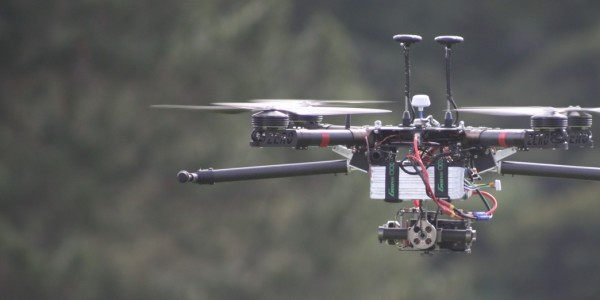
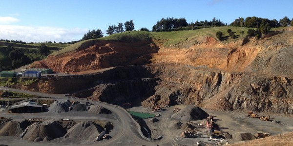
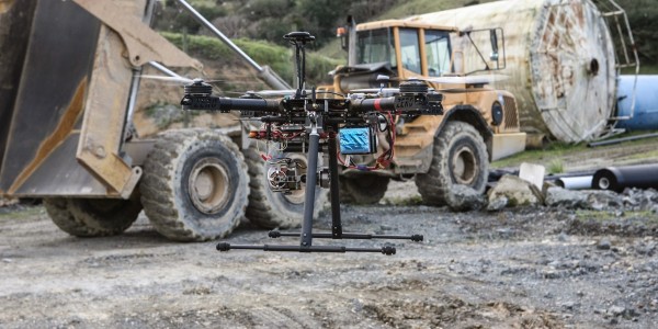
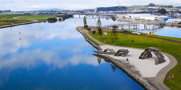
Terrain has the capacity to undertake survey-grade aerial photography and mapping supported by state-of-the-art hardware and software. Ideally suited to small to medium-sized projects (from 1 hectare to 50 km2), surveying is undertaken with the use of an unmanned aerial vehicle (UAV).

