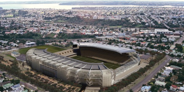
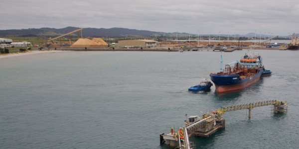
Using New Zealand designed and built UAV (unmanned aerial vehicles) and Altus quad-copters, we can survey large areas of land accurately, giving faster and more cost effective results, while producing high resolution ortho imagery and 3D point cloud data sets for design, analysis and visualisation.
UAV aerial surveying is ideal for sites where there are health and safety issues (e.g. quarries or unstable land), and both UAVs and quad-copters can be quickly deployed, making them both time and cost effective, with the end result being an incredibly detailed view of the land. Advanced data processing produces incredibly detailed 3D mapping down to 50mm resolution that is 100 times clearer than Google Earth at typically 0.5m resolution.
Until now, aerial surveying was typically undertaken by fixed wing aircraft that flew at high altitudes and were therefore more weather dependent compared to UAVs which fly below cloud level. A major advantage of the quad-copter is they can fly a grid, or hover to take in a 360o rotation or fly along the side of a building to gather the raw imagery.
For all aerial surveying, we follow strict health and safety rules and best practice flight guidelines, ensuring every flight is notified, gaining approval via a Notam (note to airman) prior to each flight. We work closely with the Civil Aviation Authority of New Zealand (CAA) to ensure ongoing compliance.


